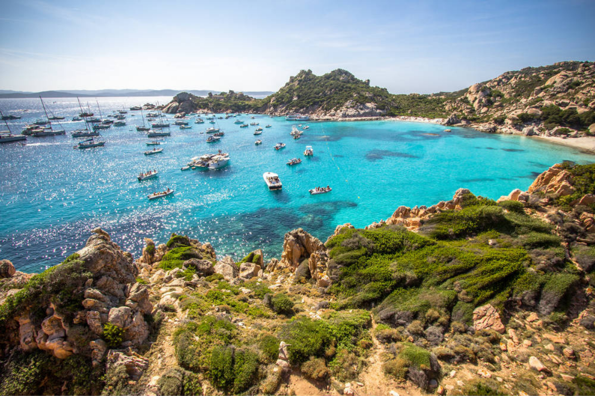
Analysis of seaside and nautical tourist attendance in space and time through remote sensing, as part of the P.O. Maritime Italy – France 2007/2013.
The project includes the following activities:
1) Identification of the areas with the greatest bathing attendance and identification of new areas for redistribution of the anthropic and maritime load (GIS analysis carried out on satellite images);
2) Identification of areas to be used as mooring fields, buoys, etc .;
3) Hypothesis of regulation of nautical traffic (differentiated by type) and bathing;
4) Future projections of anthropic and maritime load

