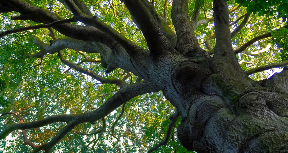
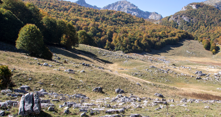
The Abruzzo National Park is one of the oldest in Italy. The park is the leader of the UNESCO site of the Beech Forests of Europe. More information about UNESCO Beech Forest can be found here. UNESCO is the United Nations Educational, Scientific and Cultural Organization. Founded on 16 November 1945 in Paris, it seeks to build peace and mutual understanding among countries through the promotion of education, science, culture, communication, and information. The site Ancient and Primeval Beech
The Abruzzo National Park is one of the oldest in Italy. The first proposal for the establishment of the park was drawn up in 1917 by the National Parks Commission of the Pro-Montibus Federation. Here more information about the Park. According to the Framework Law on Protected Areas (Law no. 394 of 6-12-1991), the Park Plan is the instrument that each Park Authority must have to manage its territory, in order to guarantee the conservation and enhancement of
This month, the ocean experienced rapid warming, with the global sea surface registering a new high temperature. This phenomenon is alarming scientists, as they do not fully understand why this is happening and have never seen such a large and rapid warming. Furthermore, the combination of this phenomenon with other meteorological phenomena could lead to an alarming rise in global temperature by the end of next year. Moreover, experts believe that, in the coming months, a strong El Niño weather
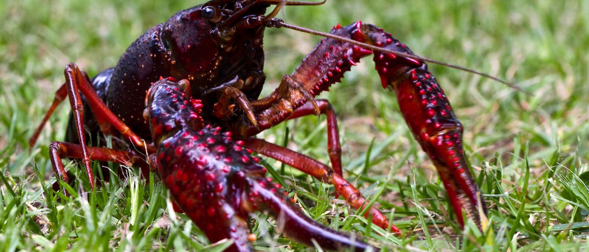
Invasive alien species (IAS) are animals and plants that are introduced accidentally or deliberately into a natural environment where they are not normally found, with serious negative consequences for their new environment. They are a major threat to native plants and animals in Europe and are one of the five major causes of biodiversity loss. They can also cause significant adverse impacts on the economy (their economic impact in the European Union (EU) was estimated at around EUR 12 billion
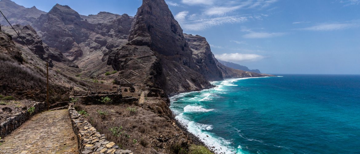
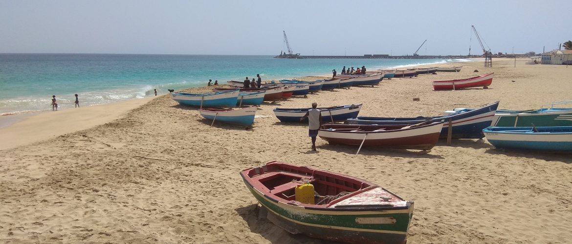
Cabo Verde, being a Small Island Developing State (SIDS) within Sub-Saharan Africa, is prone to a growing vulnerability towards environmental and economic instabilities. Under the Cabo Verde’s Strategic Plan for Sustainable Development 2017-2021 (PEDS), the Government of Cabo Verde establishes the development targets for the period 2017-2021, including to make Cabo Verde’s economy circular and to ensure economic and environmental sustainability as two of their main objectives. This national strategy further classifies tourism as one of the main pillars of
Mediterranean Marine Protected Areas (MPAs) are slices of sea and coast placed under protection and managed because of their ecological importance. Through effective management, they protect the amazing marine life of the Mediterranean, ensuring the livelihoods of fishermen, stimulating the local economy and offering tourists the opportunity to rekindle their links with nature (MedPAN, 2023). The system of Mediterranean MPAs in 2020 Every four years, MedPAN (Network of Marine Protected Areas managers in the Mediterranean) and SPA/RAC (The Regional Activity Centre for
MAVA was born of the passion, vision and adventure of Luc Hoffmann. Created in 1994 to’promote the protection of nature’ and support the conservation of iconic sites: the Camargue in France, the Bijagos archipelago in Guinea-Bissau, Doñana in Spain, the Prespa Lakes in Greece, Northern Macedonia and Albania and the Banc d’Arguin in Mauritania. Sometimes neglected by mainstream conservation, they all have exceptional natural value. Click here to learn more about these exceptional sites and some of the extraordinary
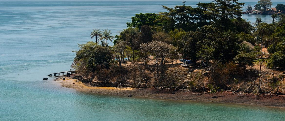
The coastal region of Guinea-Bissau is long and forested, bordered by mangrove swamps with estuaries extending far inland, while the hinterland of the country features plains and hills with savannah areas further east. According to Guinea-Bissau’s National Adaptation Programmes of Action (NAPA), the primary drivers of the climate vulnerability of the coastal areas and communities are physical exposure, dependence on agriculture and fishing as main livelihood options, and poor governance. Low-elevation coastal zones stand out as one of Guinea-Bissau’s indicators of
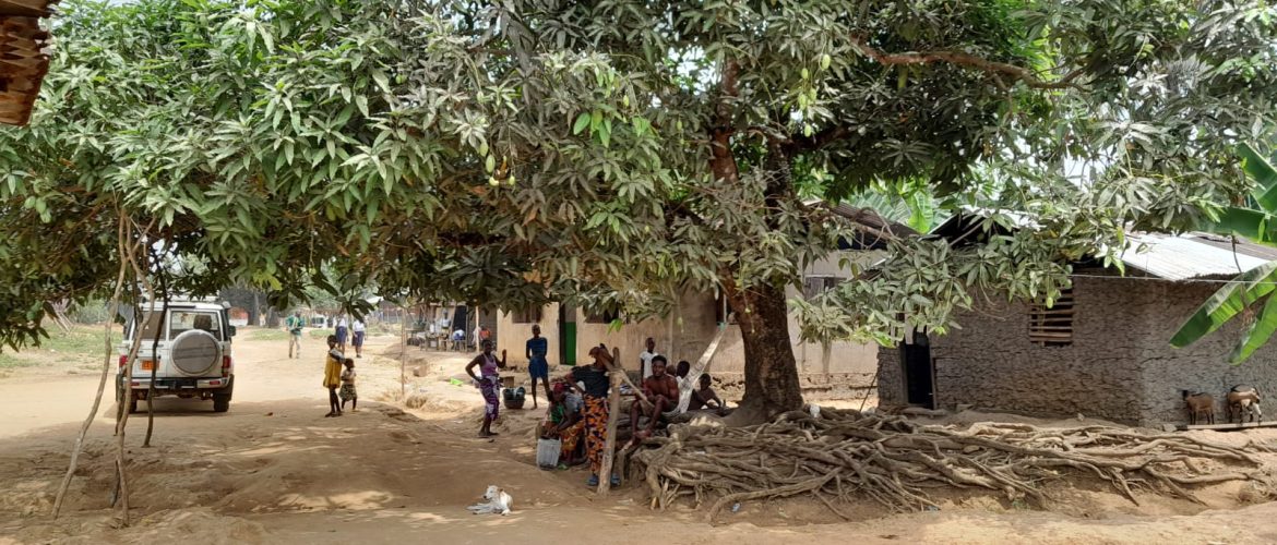
In February of 2020, Liberia formally began this journey towards developing national System of Environmental Economic Accounting (SEEA). The Liberia Environmental Protection Agency (EPA), in partnership with other governmental agencies, and support from Conservation International, started implementation of the GEF-funded project Conservation and Sustainable Use of Liberia’s Coastal Natural Capital (the GEF NCA Liberia Project). The key objective of this five-year project is to improve conservation and sustainable use of Liberia’s coastal natural capital by mainstreaming the value of nature
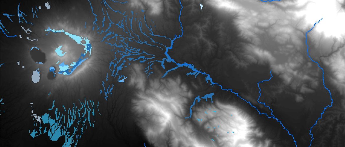
The field of Geographic Information Systems (GIS) has been developed over the last five decades. On the most basic level, GIS is a spatial system that creates, manages, analyzes, and maps all types of data. Among the functionalities of GIS, we can also find data storage. GIS connects data to a map, integrating location data (where things are) with all types of descriptive information (what things are like there). This provides a foundation for mapping and analysis that is used


